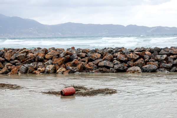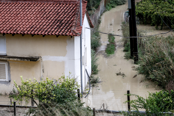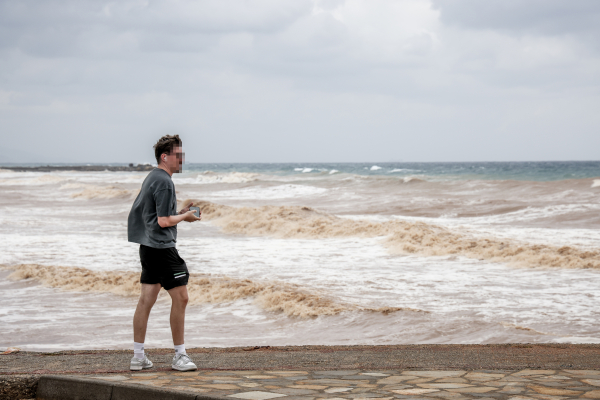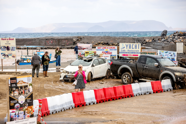
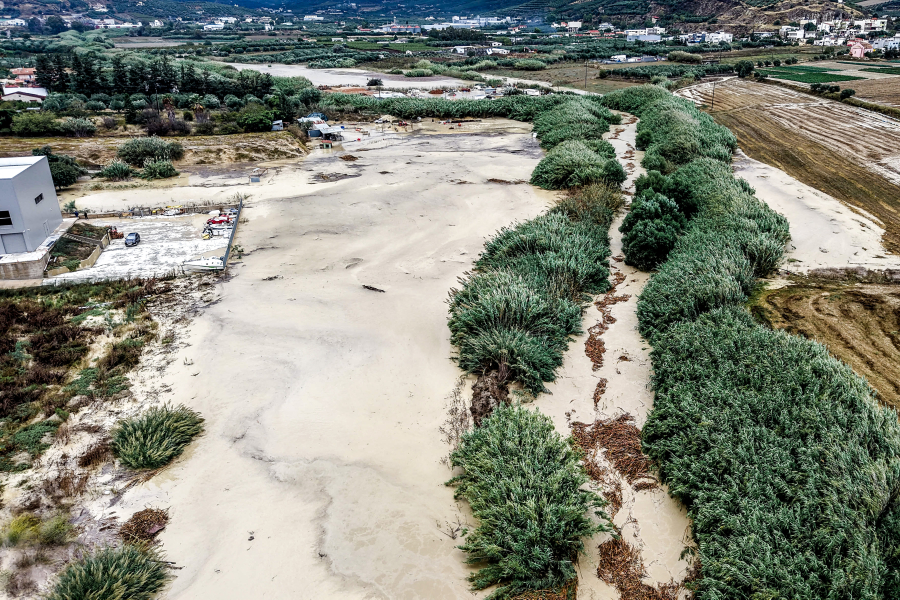

The storm has already caused serious problems in several parts of the island, but forecasts suggest the most intense phase may still be ahead.
Meteorologist Thodoris Kolydas says the focus of the severe weather is gradually shifting south, with Crete, the Peloponnese, Kythera and the southern Aegean expected to face the strongest conditions over the coming days.
The storm system is becoming stronger
According to Kolydas, the worsening weather is not being driven solely by colder air moving south towards the Aegean.
ΔΙΑΒΑΣΤΕ ΕΠΙΣΗΣ


A well-organised low-pressure system in the upper atmosphere is continuing to deepen over the eastern Mediterranean, creating increasingly favourable conditions for stronger and longer-lasting rainfall.
The system is intensifying atmospheric instability and convergence, allowing storms to develop with greater force and persist for longer periods.
Saturday could bring the most dangerous conditions
Forecast models indicate that the weather will become increasingly volatile towards the end of the week, with particular concern focused on Friday and Saturday.
According to the ICON-EU model, rainfall could reach around 121 mm in 24 hours on Thursday in areas south and southwest of Crete.
On Friday, the rain is expected to spread towards the Ionian Sea and mainland Greece, while continuing across Crete.
But Saturday, October 3, stands out as the most severe day of the forecast period, with rainfall totals potentially reaching around 160 mm in just 24 hours across parts of southern Greece.
The zone stretching from the southern Peloponnese through Kythera and Crete is expected to be particularly exposed.
No immediate relief
The threat is expected to continue into Sunday, with rainfall totals of around 124 mm in 24 hours still possible in southern Greece and around Crete.
This is particularly concerning because the danger does not come from a single burst of rain alone.
Successive days of intense rainfall can leave the ground completely saturated, dramatically increasing surface runoff and raising the risk of flash floods and overflowing streams.
Only from Monday is the weather expected to show a clearer sign of weakening, although rain may continue to affect Crete and the southeastern Aegean.
For Crete, the message is becoming increasingly urgent: the storm is not over yet — and forecasts suggest the coming days could bring even more intense and prolonged rainfall.