
After hours of severe weather across the island, conditions are forecast to ease temporarily until around midday on Friday. But the respite is not expected to last.
From Friday afternoon, the weather is set to deteriorate once again, with a new round of strong rainfall and thunderstorms moving across Crete. The renewed deterioration marks the beginning of another potentially dangerous phase of the storm system.
Friday brings only temporary relief
The latest forecast shows that Friday morning may offer a short window of relatively calmer weather.
However, residents are being warned not to let their guard down, as the severe conditions are expected to return from the afternoon and continue into the weekend.
The strongest storms are currently expected on Saturday, October 3, while periods of heavy rain and thunderstorms could persist until Sunday, October 4.
Western Crete is of particular concern, especially the regional units of Chania and Rethymno, where some of the most intense rainfall is expected.
Winds could reach 9 Beaufort
The threat will not come from rain alone.
Very strong northeasterly winds are forecast across the Aegean, locally reaching 8 to 9 Beaufort, creating hazardous conditions at sea and potentially causing disruption to ferry services.
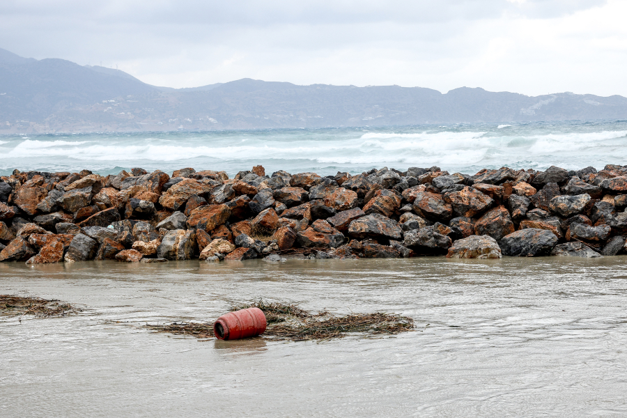
Authorities are also warning of an increased risk of local flooding, road problems, falling trees or objects and dangerous conditions in coastal areas.
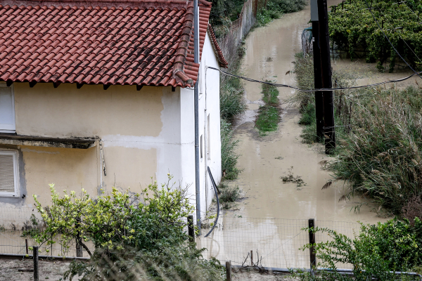
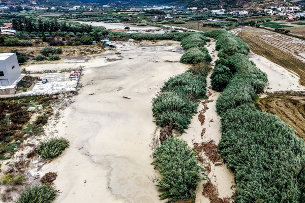
Crete has already been hit by significant rainfall and flooding, leaving the ground saturated in several areas.
And with another powerful wave approaching on Friday afternoon, the island is entering the weekend with the threat far from over.